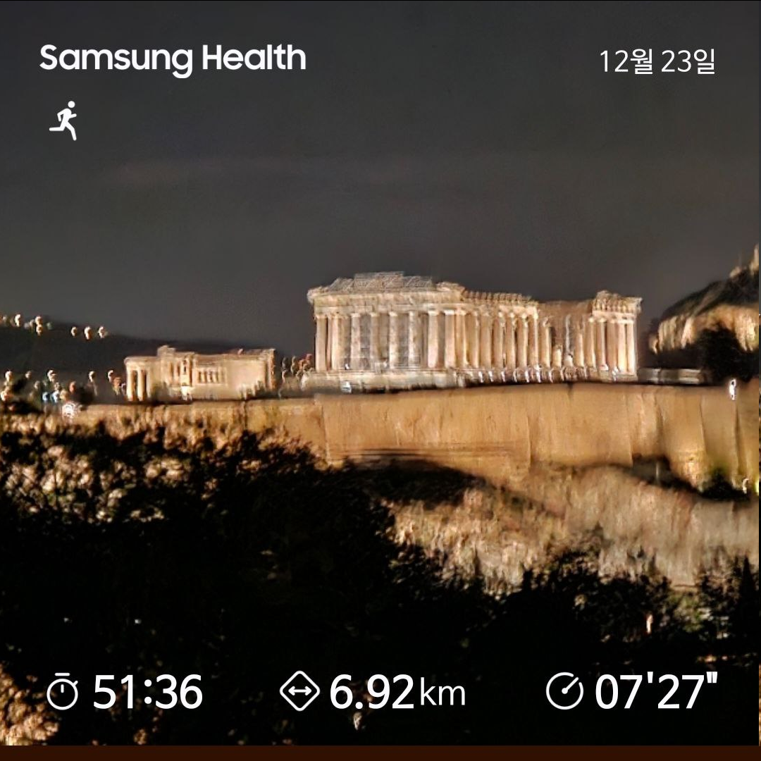
Map of the route “12월23일 달리기”: 6,506 m, 194 m of climbing and 194 m of descent, time 00:54:54. It starts at 37.98834, 23.72001 and ends at 37.98126, 23.72133 (latitude, longitude).
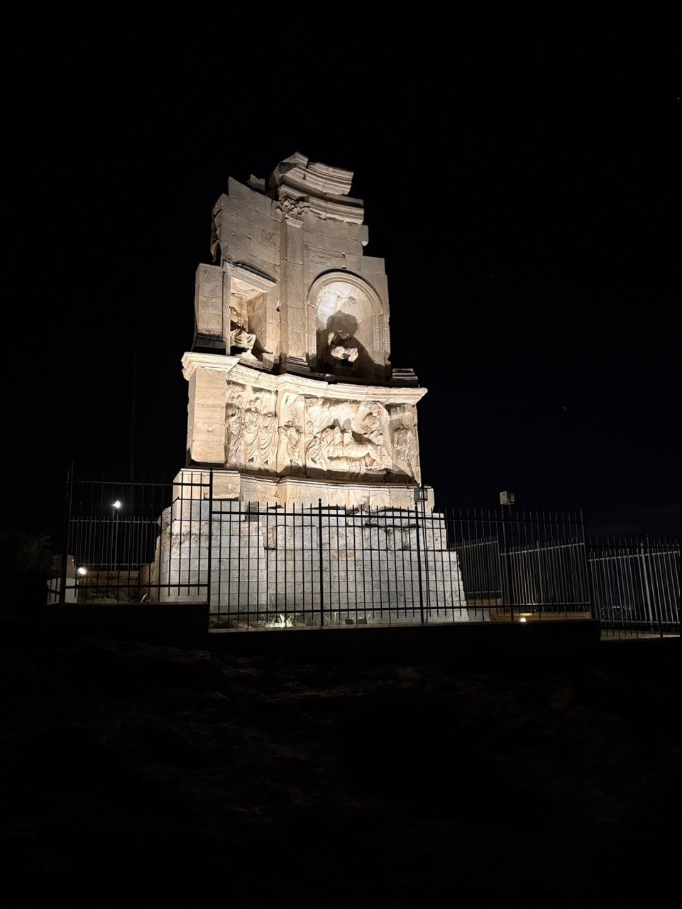
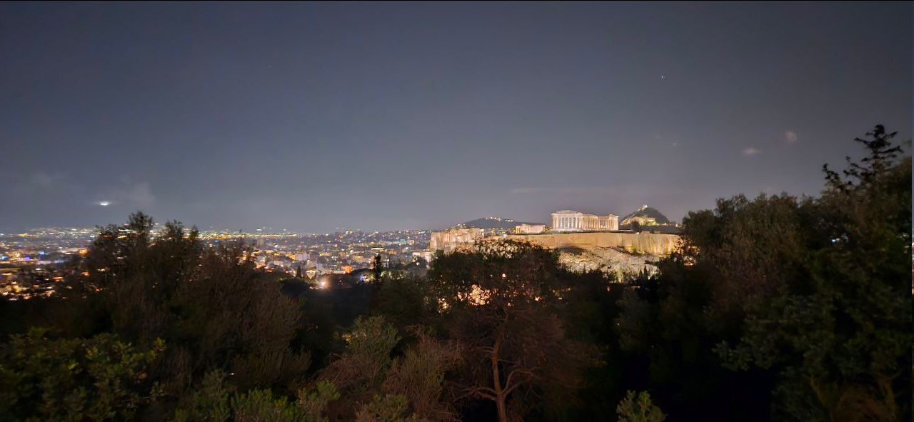
Map of the route “12월23일 달리기”: 6,506 m, 194 m of climbing and 194 m of descent, time 00:54:54. It starts at 37.98834, 23.72001 and ends at 37.98126, 23.72133 (latitude, longitude).